Lough Bray Loop Hike: Upper and Lower Lough Bray Hike in Wicklow

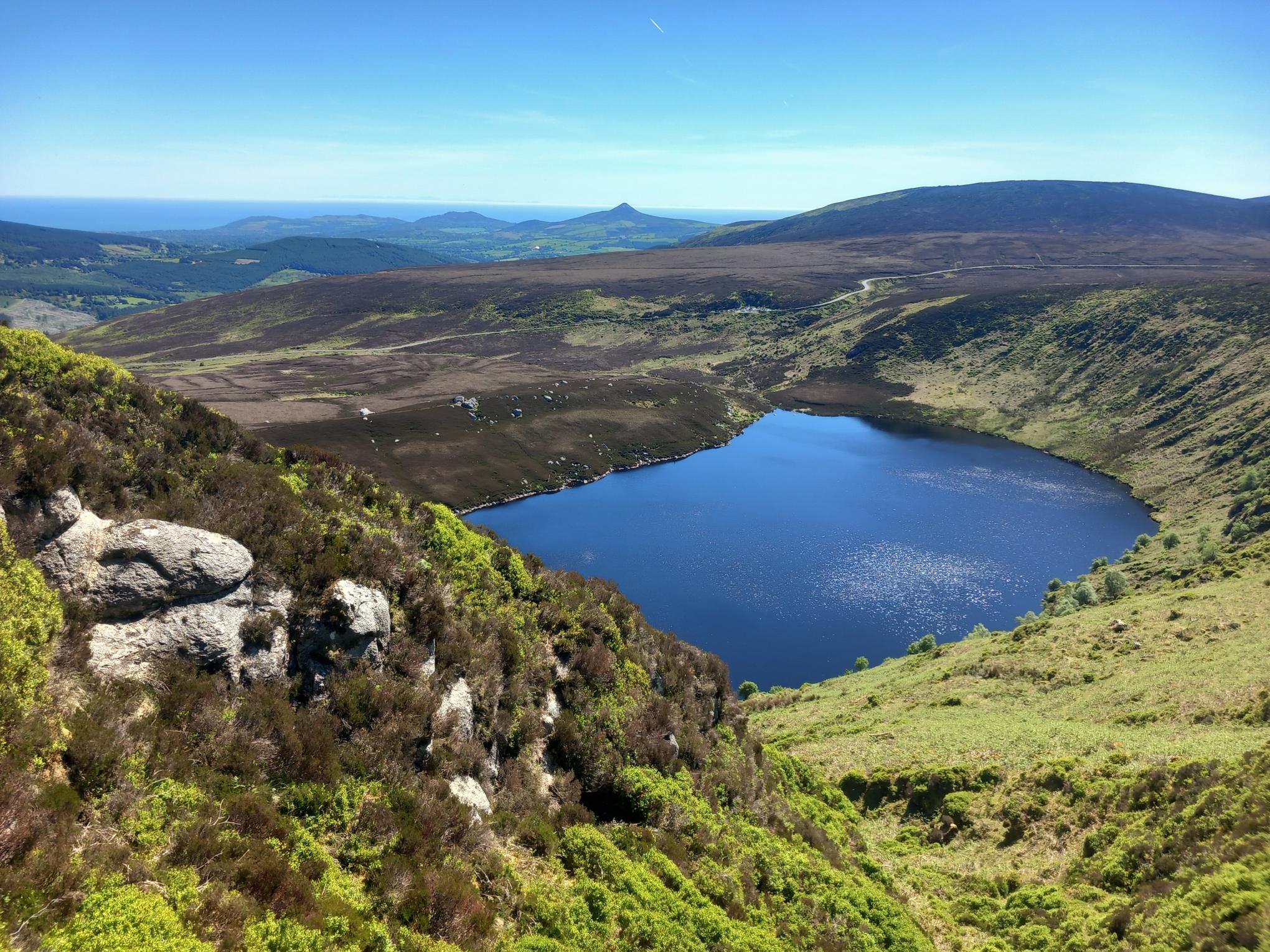
The Lough Bray Loop Hike is one of the most scenic short hikes in the Wicklow Mountains. The route circles around both Upper Lough Bray and Lower Lough Bray, climbs above the lakes to a beautiful ridge, reaches the spectacular viewpoint at Eagle’s Crag, and then returns along the lake shores.
I walked this route on a dry sunny Sunday, and the conditions were almost perfect: blue sky, around 23°C, clear visibility, and very little wind. Even in those ideal conditions, there were still a few boggy sections, so this is definitely a walk where proper hiking shoes are recommended.My route was 6.7 km and took 2 hours 55 minutes, including breaks, a sandwich stop at Eagle’s Crag, and plenty of pauses to admire the views. It is not a very long hike, but it still feels like a proper mountain walk, with open terrain, uneven ground, a steady climb, and some route-finding required.
If you are looking for more scenic routes like this, you can find more ideas in my guide to the best hikes near Dublin.
Lough Bray Loop Walk: Quick Facts
| Detail | Information |
|---|---|
| Walk | Lough Bray Loop Walk |
| Location | Wicklow Mountains National Park, County Wicklow |
| Start Point | Lough Bray / Quarry Car Park on the Old Military Road |
| Distance | 6.7 km |
| Time | 2 to 2.5 hours |
| My Time | 2 hours 55 minutes including breaks |
| Difficulty | Moderate |
| Terrain | Mountain paths, boggy ground, rocky sections, lakeshore trail, short road section |
| Main Highlight | Eagle’s Crag viewpoint over Upper and Lower Lough Bray |
| Parking | Limited parking at the Quarry Car Park; arrive early on weekends |
Where Is Lough Bray?
Lough Bray is located in the Wicklow Mountains National Park, close to the Old Military Road and not far from Glencree. The walk takes you around two mountain lakes: Upper Lough Bray and Lower Lough Bray.
The setting is dramatic from the very beginning. Upper Lough Bray sits below steep mountain slopes, while Lower Lough Bray feels more hidden and remote, especially when viewed from the ridge above.
This is not a forest walk or a casual flat lakeside loop. Most of the route is open mountain terrain, with exposed sections, uneven ground, and some boggy areas. On a clear day, though, the reward is huge: open views, deep blue water, wide valleys, and some of the best lake scenery in Wicklow.
Parking for the Lough Bray Loop Walk
I started from the Lough Bray Parking / Quarry Car Park on the Old Military Road, close to Upper Lough Bray. This is the most convenient place to start the loop, but parking is limited.
I arrived at around 10 am on a Sunday, and the car park was already full. I managed to park further up along the road, making sure the car was fully off the road and not blocking traffic.
This is important because parking can become a real issue here on sunny weekends. Some people also start from the Lower Lough Bray side, but there is no proper car park there. Cars often park along the road, and while a few cars may be manageable, too many parked vehicles can make it difficult for traffic to pass. I experienced this myself when driving back down after the hike.
My advice is simple: arrive early, park responsibly, and never block the road. If the area is already too busy, it is better to choose another nearby walk than to create a traffic problem.
Starting the Walk from the Quarry Car Park
There is a small trail directly across from the Quarry Car Park that leads down towards the shore of Upper Lough Bray, but that is not the start of the full clockwise loop.
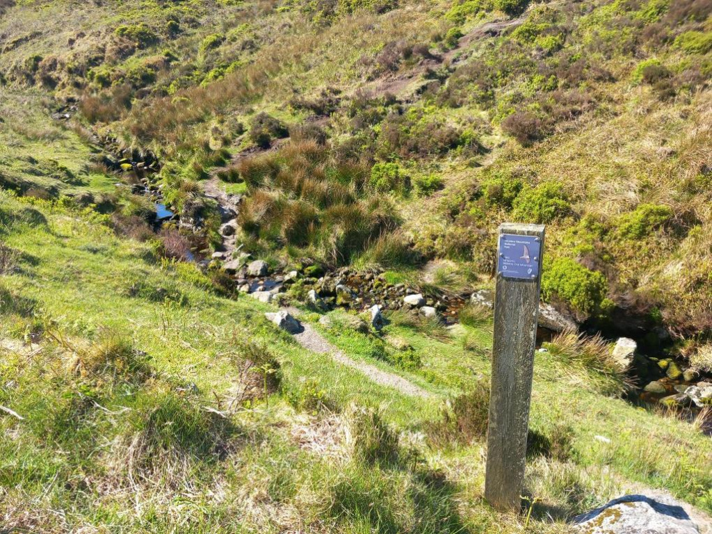
Instead, walk left along the Old Military Road for around 200 metres until you reach a Wicklow Mountains National Park marker post. This marks the start of the route if you are doing the loop in a clockwise direction.
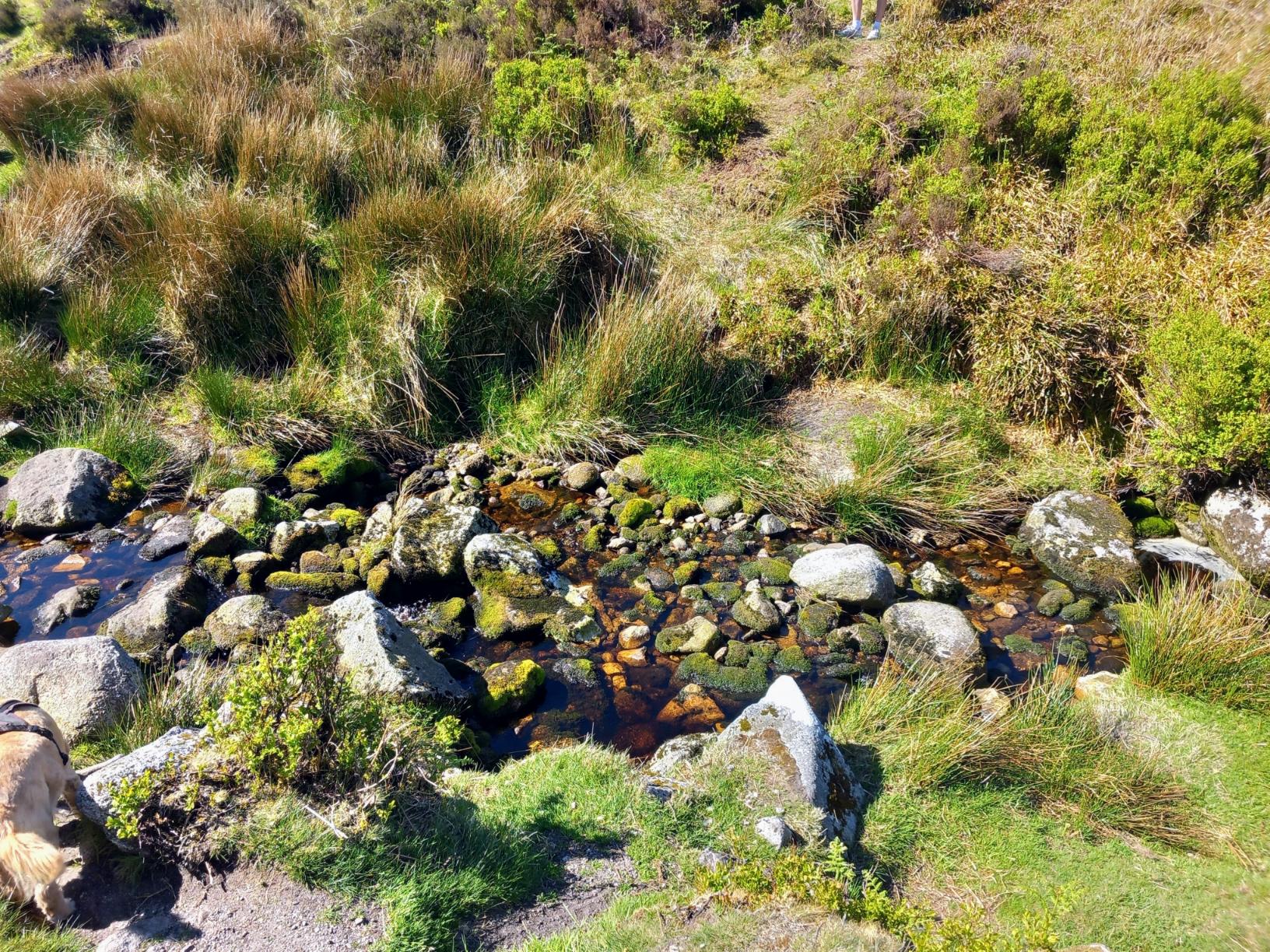
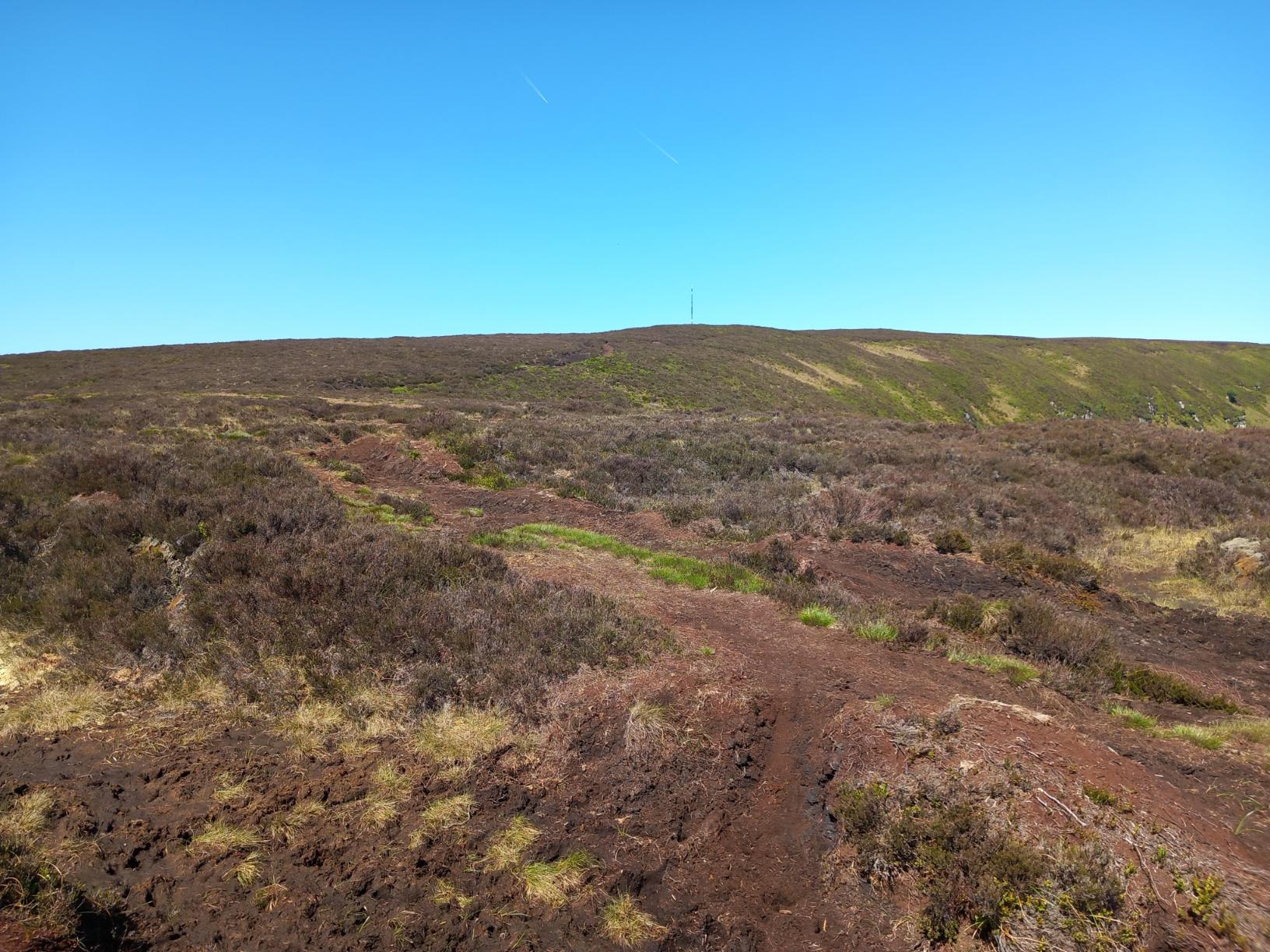
From the marker post, the trail first drops down from the road towards a small brook. You cross the brook and then begin climbing again on the opposite side. This short descent and climb is the real start of the hike.
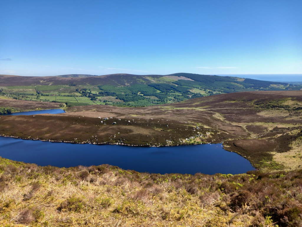
As you gain height, Upper Lough Bray begins to appear on your right-hand side from different angles, and the lake seems to change shape as the path climbs. On the day I walked it, the water was deep blue and almost mirror-like in places.
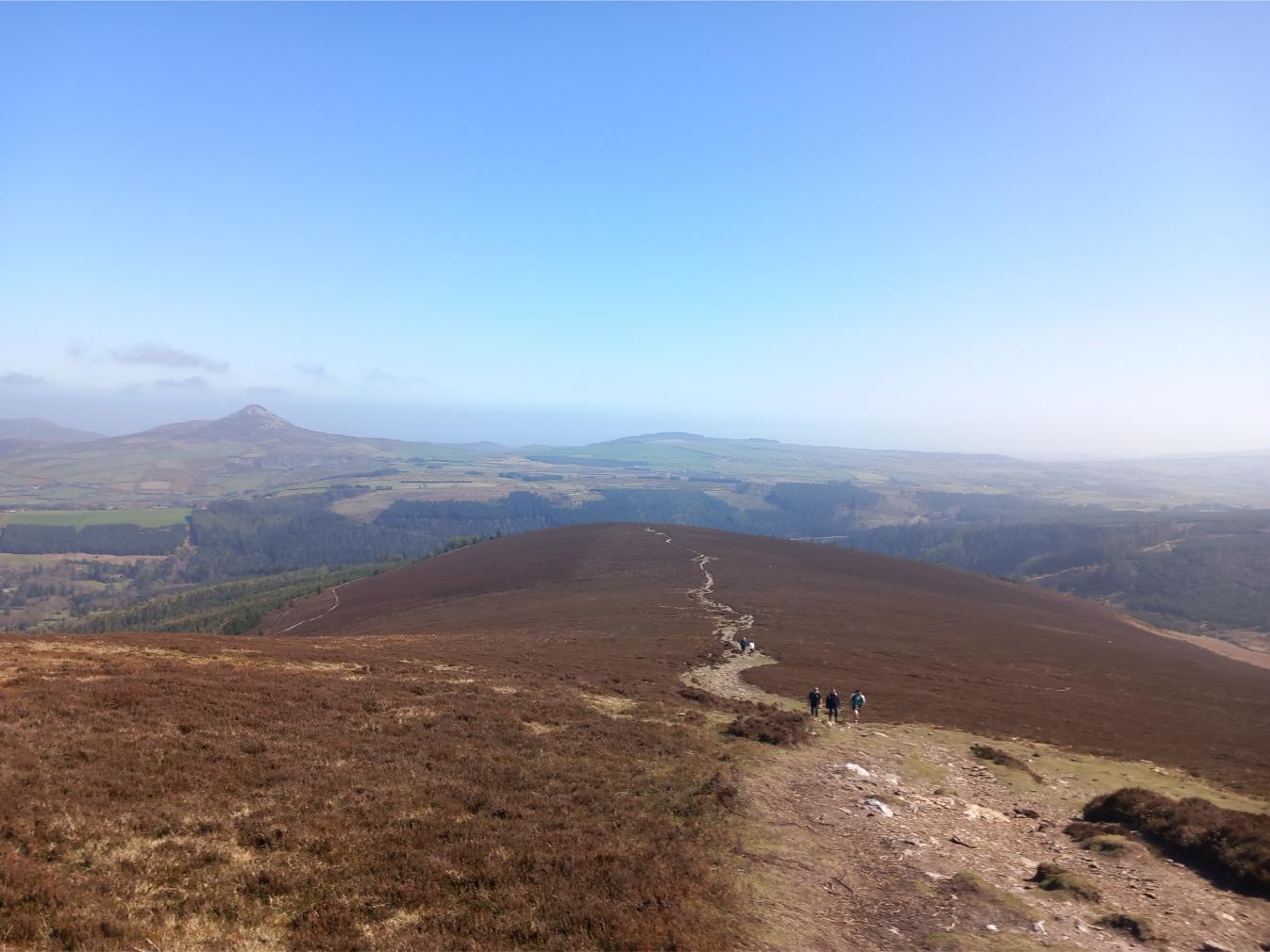
It is also worth turning around regularly during this first climb. Behind me, the view opened out across the Wicklow Mountains towards the Sugar Loaf and the Irish Sea. The visibility was excellent, and I could see far across the coast. It may even have been possible to make out the Welsh shoreline on the horizon.
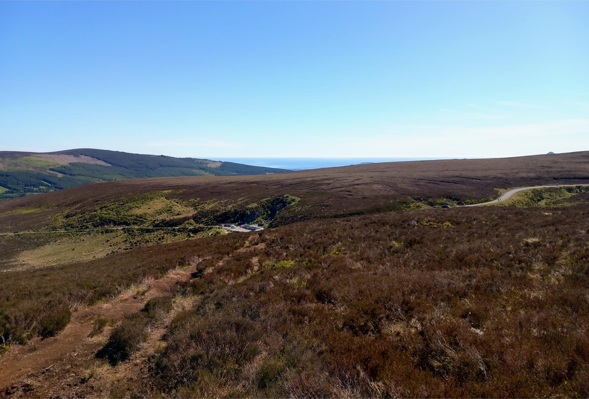
Suggested image: Looking back early in the climb towards the Sugar Loaf and Irish Sea.
Caption: Looking back early in the climb, with the Sugar Loaf and the Irish Sea visible in the distance.
Alt text: View towards the Sugar Loaf and Irish Sea from the early climb on the Lough Bray Loop Walk
The first part of the climb is the main uphill effort of the walk. The path is clear enough in good weather, but it is still rough underfoot in places. The terrain can become quite boggy after heavy rainfall, and even after a dry spell, I still found a few soft and muddy sections.
Climbing Above Upper Lough Bray
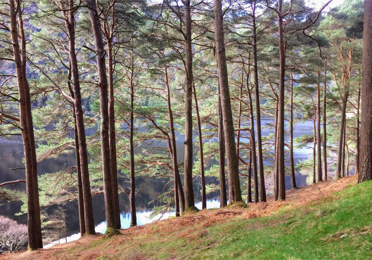
Once you are on the hillside, the route becomes more scenic with every step. Looking to your right, Upper Lough Bray sits below the ridge, with the surrounding Wicklow hills opening out behind it.
This was one of my favorite parts of the walk. I felt a real sense of anticipation as I climbed higher, excited by what might come into view next. The climb is steady but not too difficult in dry conditions, and the views give you the perfect excuse to stop regularly.
The path eventually reaches the higher ground above the lakes. From here, the walking becomes much flatter for a while, and you follow the rim of the mountainside towards Eagle’s Crag.
This upper section is where the walk really starts to feel special. You are high enough to see across the surrounding valleys, but still close enough to the lakes to enjoy the detail of the shoreline, the slopes, and the changing color of the water below.
Eagle’s Crag: The Best Viewpoint on the Walk
At around the 2 km mark, I reached Eagle’s Crag, which was the highlight of the hike for me.
This is the place to stop.
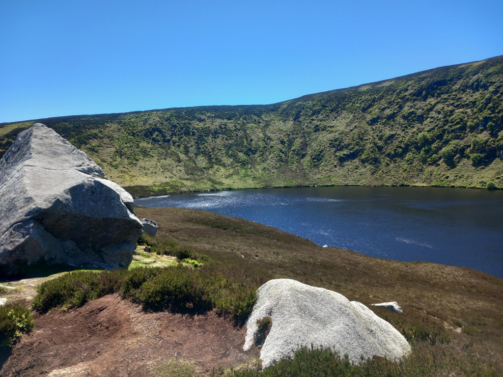
From Eagle’s Crag, you get a fantastic panoramic view over both Upper and Lower Lough Bray. You can see the two lakes sitting below the ridge, with Lower Lough Bray stretching out towards Lough Bray House on the far shore.
I stopped here for a sandwich and spent a good while just taking in the view. On a clear day, this is one of the best viewpoints in the Dublin and Wicklow Mountains area.
Some people descend from Eagle’s Crag towards the lakes, but the descent is very steep. I decided not to take that shortcut and continued around the loop instead, which felt like the safer and more enjoyable option.
If you are doing this walk, I would recommend taking your time at Eagle’s Crag. It is not just a quick viewpoint. It is the kind of place where the whole route makes sense: the two lakes, the ridge, the valley, and the return route all come into view.
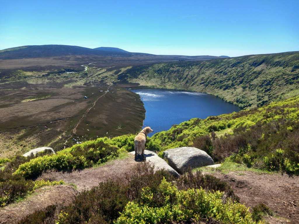
Suggested image: The panoramic view from Eagle’s Crag over Upper and Lower Lough Bray.
Alt text: Panoramic view from Eagle’s Crag over Upper and Lower Lough Bray
Views of Lough Bray House
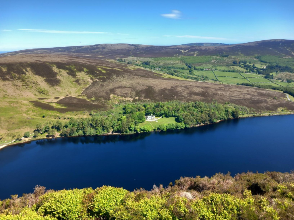
From the ridge, you can also see Lough Bray House, sometimes referred to as Lough Bray Cottage, on the shore of Lower Lough Bray.
It adds something unusual to the scene. Most Wicklow lake views are completely wild, but here you have this remote-looking house sitting beside the water, surrounded by mountains.
Lough Bray House is a picturesque sporting lodge built around the mid-19th century, and it has historical connections with the Powerscourt Estate and later the Guinness family. You do not pass directly by the house on this route, but you get great views of it from the opposite side of the lake, especially from the ridge and around Eagle’s Crag.
Continuing Around Lower Lough Bray
After Eagle’s Crag, I continued along the upper trail for another couple of kilometers rather than descending steeply.
This part of the route stays scenic throughout. The views keep changing as you move around the mountainside, with Lower Lough Bray below and the surrounding valleys opening up in different directions.
Eventually, the route begins to descend gradually towards the lower lake. The descent is much more manageable than the steep shortcut from Eagle’s Crag, although you still need to watch your footing.
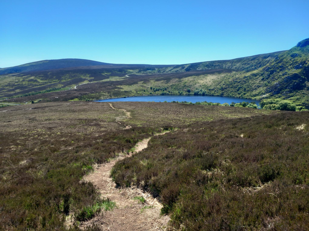
At around 5 km, I reached the Old Military Road beside a small stone cottage. From here, there is a short section of road walking. I walked for around 100 meters before taking the trail that leads back down towards the shore of Lower Lough Bray. Take your time here and make sure you pick up the correct path back towards the lakes.
This small road section is worth paying attention to, as it can be a little confusing if you are not following a map or GPS route. Take your time here and make sure you pick up the correct path back towards the lakes.
Walking Beside Lower Lough Bray
The next section follows the shore of Lower Lough Bray for around 1 km. After the high ridge views, this part feels very different.
Instead of looking down on the lakes, you are now walking close to the water. The trail rises gradually, and the surrounding slopes feel much bigger from below.
This section was peaceful and very enjoyable in dry weather, but I can imagine it feeling much tougher after rain. There are narrow paths, rough ground, and boggy patches, so it is not a place for runners or casual trainers unless the conditions are very dry.
Eventually, the route brings you back towards Upper Lough Bray. When you reach the eastern side of the upper lake, take the left-hand path and keep the lake on your right.
From here, the trail follows the lake and leads you gradually back towards the car park where you started.
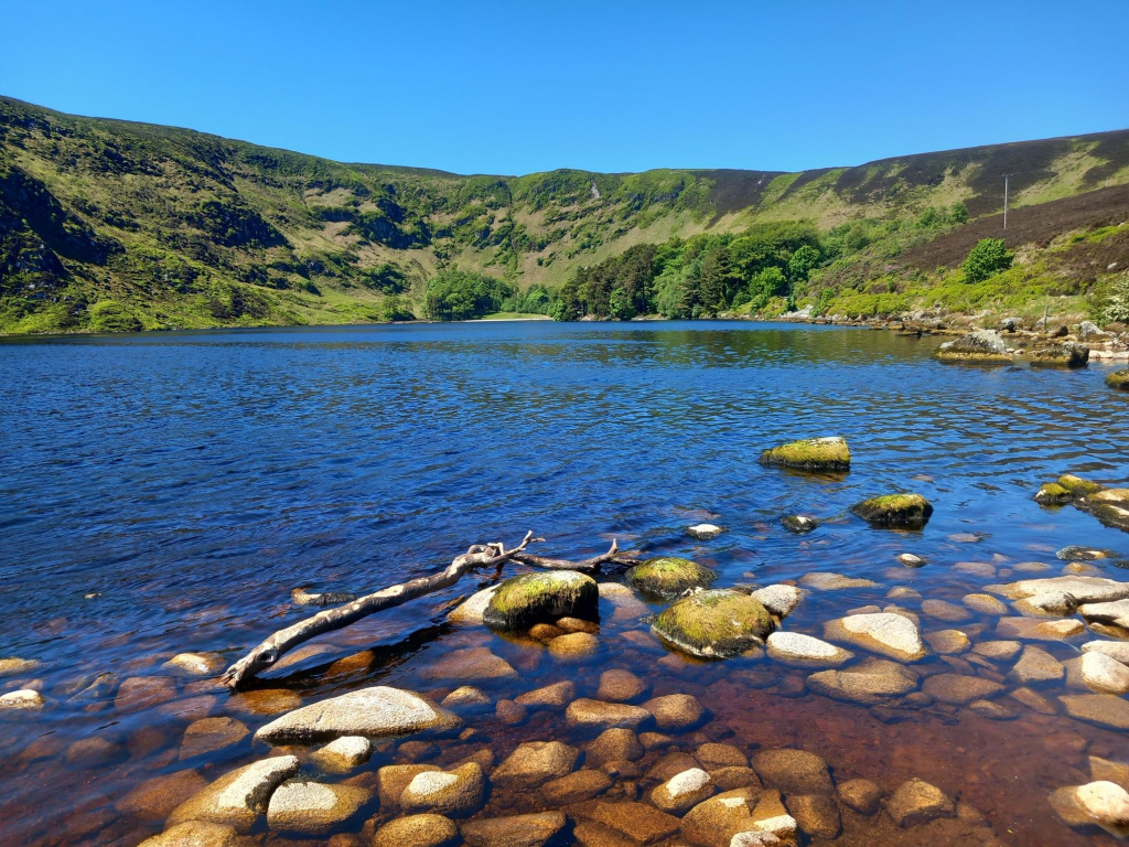
Final Section Around Upper Lough Bray
The final section around Upper Lough Bray is a lovely way to finish the walk.
By this point, you have already seen the lake from above, but walking near the shoreline gives a different perspective. The cliffs and slopes around the lake look more dramatic from below, and the water feels much closer and calmer.
The trail eventually brings you back to the Quarry Car Park area. If you started early enough, this is a good place to take one final look back at the lake before heading home.
For me, this was one of the most rewarding short-to-moderate hikes I have done in the Wicklow Mountains. The distance is manageable, but the scenery feels much bigger than the numbers suggest.
How Difficult Is the Lough Bray Loop Walk?
I would describe the Lough Bray Loop Walk as a moderate hike.
It is not very long, but it should not be underestimated. The route includes a steady climb near the start, boggy ground in places, narrow mountain paths, rocky and uneven sections, a high ridge above the lakes, a short road section, and a few points where the route can be confusing.
In dry weather, like I had, the walk was very enjoyable and never felt too difficult. In wet, windy, or misty weather, it would be a very different experience.
The views are open and exposed, so navigation could become harder in poor visibility. If you are not familiar with this area, I recommend checking my recorded route on the HiiKER app before you go. You can view the walk and download the GPX route there, which is very helpful for following the trail on the day.
What to Wear and Bring
For the Lough Bray Loop, I would recommend bringing or wearing:
- Waterproof hiking boots
- A windproof layer, even on a sunny day
- Water
- Snacks or lunch for Eagle’s Crag
- Sunscreen in good weather
- A downloaded map or GPX route
- A fully charged phone
- Walking poles if you like extra support on uneven ground
Even though the walk is under 7 km, it is still mountain terrain. The weather in Wicklow can change quickly, and the ground can stay wet even when it has not rained for a while.
Is the Lough Bray Loop Suitable for Beginners?
This depends on the beginner.
If you are used to walking and have decent footwear, the Lough Bray Loop can be a good step up from easier Dublin and Wicklow walks. But it is not the same as a forest loop or a flat lakeside trail.
Beginners should only do it in good weather, with proper shoes, and ideally with a map or GPS route. The start and the road-crossing section can be confusing if you have not checked the route in advance.
For complete beginners, I would start with easier walks first, such as Ticknock, Tibradden, Cruagh Wood, or the Hellfire Club, before moving on to Lough Bray.
Is the Lough Bray Loop Dog-Friendly?
You may see dogs on the Lough Bray Loop, but I would only recommend it for fit dogs used to mountain terrain.
There are narrow paths, steep drops in places, boggy sections, and rough ground. Dogs should be kept under close control, especially near sheep, wildlife, other walkers, and steep ground.
Bring water for your dog, and avoid this route in very hot weather, as there is little shade.
Best Time to Do the Lough Bray Loop
The best time to do the Lough Bray Loop is on a dry, clear day when visibility is good.
The main reason to do this walk is the view, especially from Eagle’s Crag. If the ridge is covered in mist, you will miss a lot of what makes the route special.
I walked it on a sunny Sunday, which was perfect for views but not ideal for parking. If you can go on a weekday, you will probably have a quieter experience. If going at the weekend, arrive early.
My Tips for Walking the Lough Bray Loop
- Start early on weekends. I arrived around 10 am on a sunny Sunday and the car park was already full.
- Do the loop clockwise. Starting from the Quarry Car Park and climbing first gives you fantastic views early in the walk and makes the route feel logical.
- Do not start by taking the trail directly opposite the car park. For the clockwise loop, walk left along the road first until you reach the Wicklow Mountains National Park marker post.
- Turn around during the first climb. The views behind you towards the Sugar Loaf and the Irish Sea are easy to miss if you only focus on the lakes.
- Do not rush Eagle’s Crag. This is the best viewpoint on the route and a perfect place for a break.
- Avoid the steep descent unless you are experienced. Some walkers go down from Eagle’s Crag, but I continued around the lower lake and was glad I did.
- Expect boggy ground. Even in dry weather, I found a few soft sections.
- Use a map or GPX route. The trail is not always formally marked, and the short road section near the lower lake can be confusing.
- Park responsibly. This is a narrow mountain road, and bad parking can make it difficult for other cars to pass.
Frequently Asked Questions About the Lough Bray Loop
How long is the Lough Bray Loop Walk?
My route was 6.7 km. The exact distance may vary slightly depending on where you park and which line you follow, but most descriptions of the route are around 6.5 to 7 km.
How long does the Lough Bray Loop take?
It took me 2 hours 55 minutes, including breaks and plenty of time stopping for photos and views. Most walkers should allow around 2.5 to 3 hours.
Where do you park for the Lough Bray Loop?
The most convenient place to start is the Lough Bray / Quarry Car Park on the Old Military Road near Upper Lough Bray. Parking is limited and fills quickly on sunny weekends.
Which direction should you walk the Lough Bray Loop?
I walked the Lough Bray Loop clockwise, starting from the Quarry Car Park and walking left along the road to the Wicklow Mountains National Park marker post. This direction works well because you do the main climb early and get excellent views over Upper Lough Bray as you gain height.
Is the Lough Bray Loop hard?
It is a moderate hike. The distance is not too long, but the ground is rough, boggy in places, and exposed. There is also a steady climb near the start.
Can you swim in Lough Bray?
I would not recommend this walk as a swimming trip. The lakes are remote, cold, and surrounded by rough mountain terrain. There are no facilities or lifeguards.
Is the route marked?
There are some visible paths and a national park marker post near the start, but this is not a fully signposted waymarked trail. Bring a map or follow a GPS route.
Is Lough Bray worth visiting?
Yes, absolutely. The views over Upper and Lower Lough Bray from Eagle’s Crag are some of the best lake views in Wicklow. On a clear day, it is a fantastic short mountain hike.
Final Thoughts on the Lough Bray Loop Walk
The Lough Bray Loop is a beautiful Wicklow hike with a lot packed into a short distance. You get mountain views, two lakes, a ridge walk, a dramatic viewpoint, and a peaceful return along the water.
For me, the highlight was definitely Eagle’s Crag, where both lakes are visible below and the whole landscape opens up around you. It is the kind of view that makes you want to sit down, have your lunch, and stay for a while.
I also loved the early part of the climb, where Upper Lough Bray appears on your right and the views behind you open towards the Sugar Loaf and the Irish Sea. On a clear day, this route gives you much more than just lake views.
The walk is not too long, but it still feels like a proper mountain hike. With good weather, good footwear, and an early start, the Lough Bray Loop is one of the most rewarding hikes near Dublin.